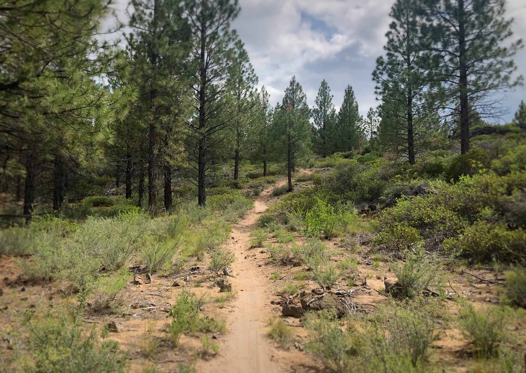
Frequently Asked Questions about Mountain Biking in Bend
Q: What trails can you shuttle?
Once we get into summer and the snow recedes (usually in late-May), you can shuttle from Wanoga, Skyliner, Swampy Lakes, and Dutchman Sno-Parks back to town. Check out the trail map and pick a route!
If you’re interested in hiring a shuttle, or taking a guided tour (in Bend or Oakridge) — click over to Cog Wild. They run frequent shuttles from several local bike shops and from their office at the base of our trail network. Ask them about their shuttle punch cards — those are a great deal.
To shuttle trails of the McKenzie Region including the McKenzie River Trail and O’Leary Mountain, check out Horse Creek Outfitters for info and online reservations.
Q: Can we use our e-bikes on Bend Trails?
Generally no.
E-bikes, electric bikes, pedal assist bikes, and all types of motorized vehicle are prohibited on all National Forest single-track by USFS regulations (and most of our trails are within the USFS boundary). There are no exceptions for medical issues (not our rules BTW, the USFS makes the rules).
Any forest road where you can ride a motorcycle is ok for e-bikes.
Notable exceptions are the Madras East Hills Trail System, The Radlands, and a few trails in Oakridge where Class-1 E-bikes are allowed.
Q: Can I bring my dog on the trails?
While generally allowed, unleashed dogs and bikes are not a good mix. Please leave your dog at home.
Q: Which trails are one-way only?
Almost all trails are two-way trails with just a few exceptions. And, any trail which is one-way is clearly marked with signs that read “one way trail, do not enter”.
- Ben’s is one way (climbing only).
- Phil’s is mostly one-way downhill — but there is a two-way section above the Kent’s junction — so that’s a little confusing.
- Lower Whoops is one-way downhill — with an adjacent climbing route on the forest road or by climbing Pine Drops.
- Tiddlywinks has one-way downhill sections, with a few uphill climbing re-routes — same with Funner.
- Tyler’s Traverse is all one-way down but there’s an adjacent climbing route for riders who want to climb to the top.
- Sand Canyon and Trail 1 are not technically one way (DH) trails, but they are basically un-climbable and have very high speed (35mph or faster) downhill traffic — so please don’t climb them, there are better ways to get to the summits.
Q: How are Bend trail conditions in the spring? We usually come in October.
October is pretty ideal here. May – not so much. Last year (2018), the lower trails were doing pretty well in May but anything above 4500 feet or so was snowy. This year there is MUCH more snow than last year so that doesn’t help.
Our Instagram page and Facebook Group tend to document conditions pretty well.
Q: Which Central Oregon trails are truly multi-use and which are not?
All trails are multi-use trails in that hikers, runners and walkers can use any trail they want. Other users are excluded sometimes (bikes, horses, motos) — but never foot users.
Some of the trails on BendTrails.org are prone to high speed bike traffic and have short visibility corridors — so eyes forward and ear-buds out for safety.
Q: Which Bend trails are usually open for winter riding (not fat bike)?
Best bets for dirt are gonna be Maston, Cline Buttes, Horse Butte and Horse Ridge which have all been riding well this week with only small areas of snow. Subject to change of course.
Q: Should I ride wet trails and/or in the mud?
Great question. Certain times of year we can have snow, mud and/or puddles on trails. Especially in the early spring.
Per above, Maston, Cline Buttes, Horse Butte and Horse Ridge are the goto wet weather riding areas. It can be pouring in Bend, and Horse Butte is sunshine!
That said – if most of the trails in lower phils are dry – people will be riding there no question. And that’s fine. What people need to understand is when you encounter a puddle or mud – you need to stay in the trail tread – and do your best to ride directly through the mud or puddle. DO NOT ride around it. Once the trail dries out, all the mud and puddles will be go away. Yes – they will go away on their own. Even muddy ruts will be beaten into submission with bike tires. But – all those tracks around the mud and puddles will stay. And the trail looks like crap. And COTA will need to work on narrowing up the trail again. So – Keep singletrack single – and ride through the mud :).
Q: What trails are beginner and/or family friendly?
Phil’s trailhead is the a great area for beginners. Marvin’s is maybe the most challenging of the options – but the trail is fun challenges with go-arounds along the way. Ben’s and Kent’s don’t have much to worry about. Note the 1 way designation of Ben’s and Phil’s. Maston, Horse Butte are also very beginner friendly for the most part. Lower Peterson Ridge in Sisters is like lower Phil’s. Flat and rolling and easy. Also near sisters is the Lake Creek trail, Suttle Tie, Suttle Lake loop, etc.
Q: Who was responsible for approving new trails, trail maintenance, naming trails, etc.?
The Central Oregon Trail Alliance builds, names, and maintains all the trails from the Ochocos to La Pine (the USFS oversees COTA and approves all new trails). Outlying areas like Oakridge and the Cascade Crest have similar trail groups: GOATs, SATA, etc.
Q: I was curious if there’s a particular reason why the website isn’t utilizing the Facebook Pixel?
We don’t use the pixel (anymore) because we decided that letting Facebook track our visitors isn’t in the users best interest of our visitors — and we exist for them. If they were clamoring to be tracked, we’d definitely put the pixel on there.
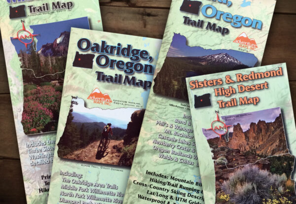
Central Oregon Adventure Maps
You’ll find high-quality Central Oregon Adventure Maps — plus bike jerseys, t-shirts, hoodies, logo wear, and more in our shop.
Shop Maps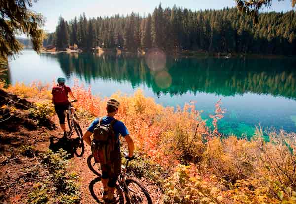
Mountain Bike Rentals & Shuttles
Horse Creek Lodge & Outfitters has bike rentals for only $65 per day, so you can soar down the McKenzie River Trail, O’Leary Loop Trail, or Olallie Trail on a high-quality mountain bike. Ask about our kids bikes too!
Horse Creek Lodge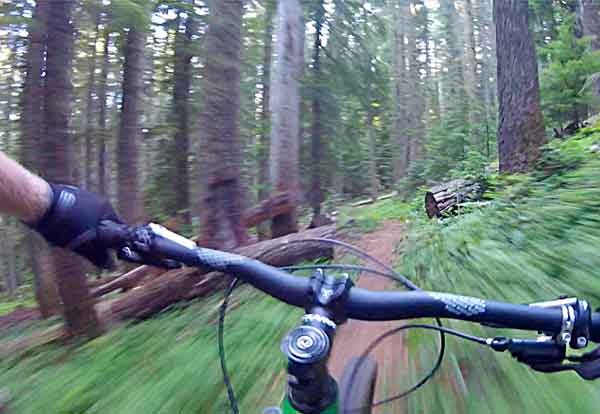
Go Until Your Equipment Gives Out
Meet the developers who built the BendTrails website UI/UX — they know how to blur the line between work and play.
Learn More
Mountain Bike Rentals Delivered to You
Ride 2 You delivers mountain bike rentals directly to your door in Bend, Sunriver and Sisters, Oregon. We have the largest fleet of bikes in Central Oregon and offer trailhead drop-off services as well. Ask about our eBikes too!
Book Your Rental Now